Skip to content
Intellisane AI

Farming smarter with AI

Training data to monitor crop health, predict yields and automate field work, driving efficiency and sustainability in agriculture.

  • Bounding boxes
  • Semantic segmentation
  • GIS & geospatial
  • Image classification
  • Keypoint & dot
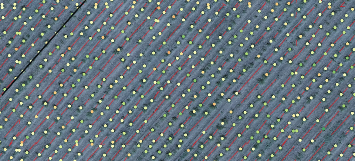
drone_survey_field14.tif1 / 4
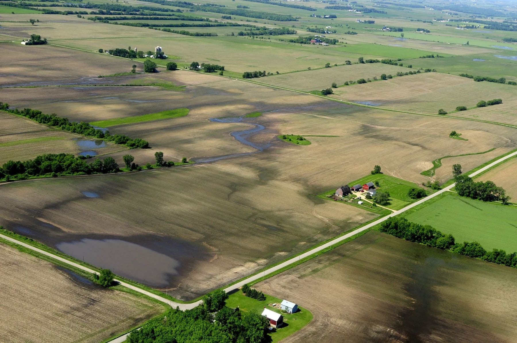
Aerial view of farm fields, water and a farmstead
auto-detecting objects…
  • MindEarth
  • Taranto
  • Felucca
  • Virtual Staging
  • Algolight
  • Innodata
  • Stay22
  • Toothlens
  • Agnitu
  • Shaip

Use cases

Where our data makes a difference

Training data built around the use cases our clients take to production.

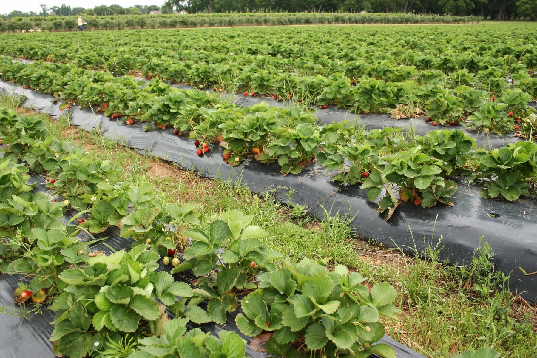
  • Strawberry plants with ripe fruit in a field
    01

    Crop monitoring

    Data-Driven Insights for Effective Crop Management

    Crop monitoring leverages cutting-edge technologies and precise data annotation to oversee the health and growth of crops throughout their lifecycle. By meticulously labeling satellite imagery and drone footage, we help identify crop conditions, detect diseases, and evaluate soil health. This data-centric approach empowers farmers to make informed decisions, optimize resources, and boost yields, ultimately fostering more sustainable agricultural practices.
  • Aerial view of farm fields, water and a farmstead
    02

    3D field mapping

    Mapping Fields with Precision Using AI

    3D field mapping transforms the way farmers monitor their land. By annotating high-resolution drone imagery and sensor data, we enable AI systems to generate detailed maps that reveal field topography, soil variations, and crop health patterns. This precise data helps optimize land use, irrigation, and farming practices for increased efficiency and sustainability.

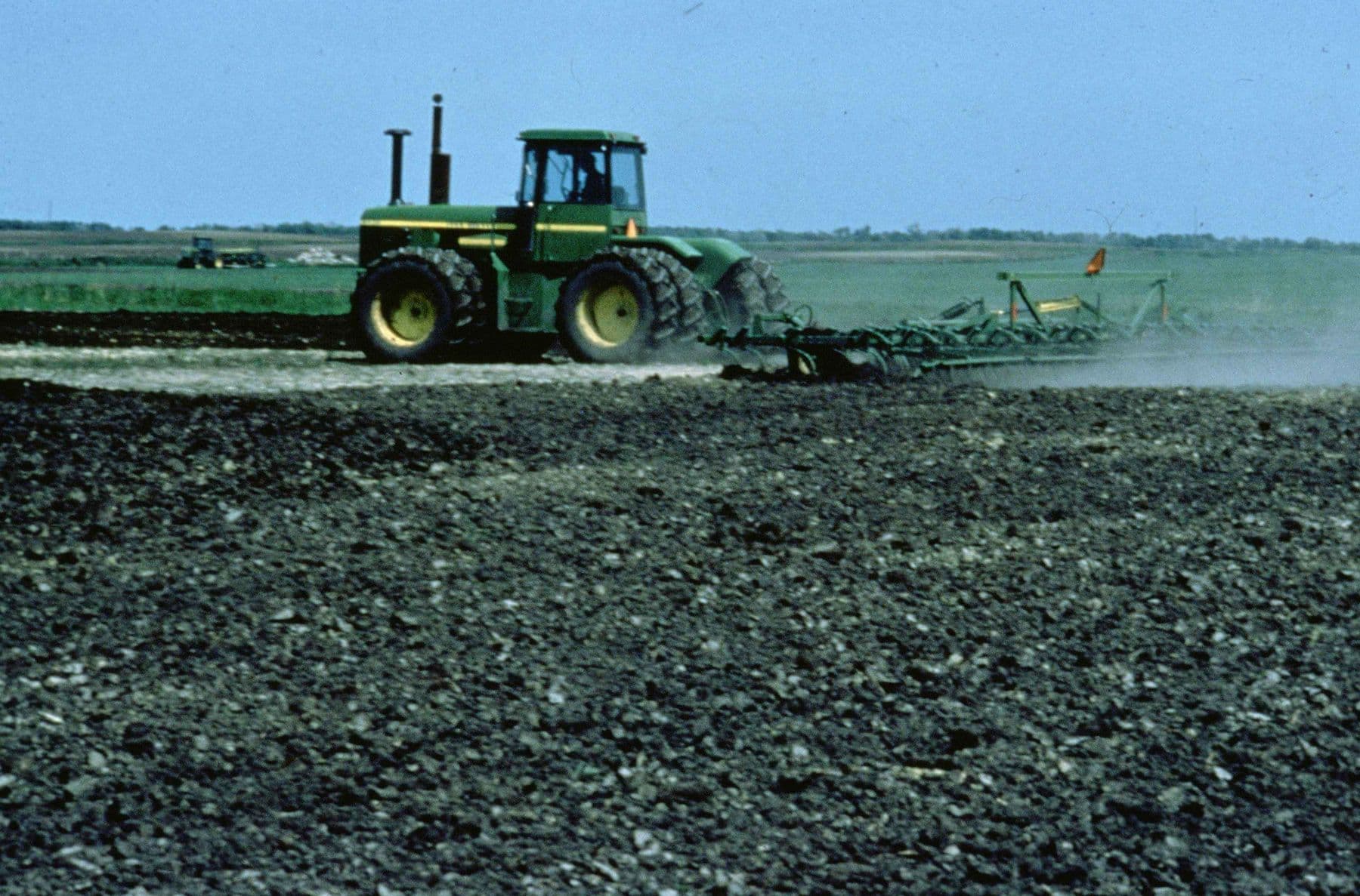
  • Tractor working a field
    03

    Agricultural robotics

    Smarter Farming with Autonomous Robotics

    With agricultural robotics on the rise, annotated sensor and image data allow autonomous machines to navigate fields, perform tasks like planting and harvesting, and monitor crop health. Our data labeling expertise enables robots to operate more effectively in dynamic environments, improving efficiency, and reducing the need for manual labor.

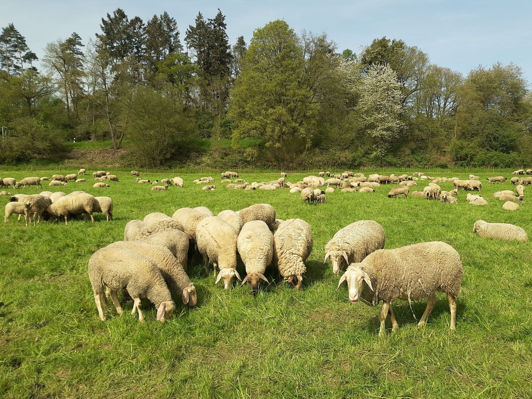
  • Flock of sheep grazing in a field
    04

    Livestock monitoring

    Enhancing Animal Welfare Through AI Technologies

    Data annotation for livestock monitoring systems involves labeling images and videos to track animal movement, health, and behavior. By using AI-driven insights, farmers can monitor livestock remotely, detecting early signs of disease, optimizing feeding schedules, and improving overall animal welfare. This ensures a healthier, more productive herd.

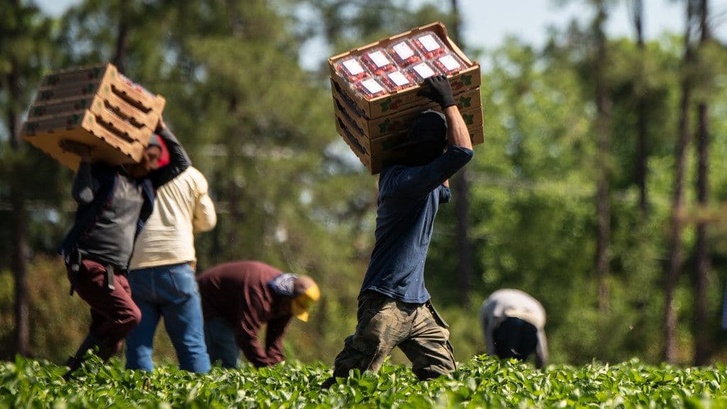
  • Farm workers carrying crates during harvest
    05

    Supply chain optimization

    Predictive Supply Chain Management in Agriculture

    Data labeling plays a critical role in tracking and optimizing every stage of the agricultural supply chain. From identifying produce quality to monitoring transportation conditions, our annotations help AI models predict demand, reduce spoilage, and improve inventory management.

Annotation types

The right label for each job

Pick an annotation type to see what it's for and how it looks on real data.

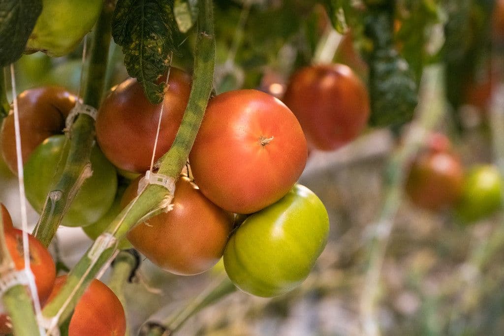
Ripe and unripe tomatoes on the vine

Bounding boxes

Bounding boxes are used to precisely mark and track individual crops or plants in aerial or field images. This helps AI models monitor growth, detect diseases, and optimize yield by analyzing crop health and development over time. Accurate annotations enable better decision-making for precision agriculture and resource management.

What makes it hard

The hard parts of agriculture data

These are the problems that quietly break models in this domain, and how our guidelines handle them.

Edge cases we label

  • Weeds vs crops
  • Unripe vs ripe fruit
  • Shadowed rows
  • Waterlogged patches
  • Overlapping animals
  • Tiny seedlings
  • Dense, overlapping plants

    Thousands of similar objects per image, as in our 4.8M sugarcane-plant project, need disciplined counting rules.

  • Growth stages

    Crops look different week to week; classes and examples cover each stage you care about.

  • Changing light and weather

    Drone and field images vary with sun angle, shadows and season.

  • Animals on the move

    Livestock overlap and move, so IDs and poses are tracked carefully across frames.

How we work

Calibrated on your data before we scale

Every project follows the same five steps, with multi-layer QA backing our 98%+ accuracy guarantee.

  1. Step 01

    Consult

    We review your data, edge cases and success criteria, then write annotation guidelines with you.

  2. Step 02

    Annotate

    A trained team labels a pilot batch, following the agreed guidelines to the letter.

  3. Step 03

    Calibrate

    You review the pilot. We fold your feedback into the guidelines before scaling up.

  4. Step 04

    Multi-layer QA

    Every batch passes peer review, expert QA and automated checks before it leaves us.

  5. Step 05

    Deliver

    Labels ship in your format on your schedule, ready to drop into training.

Proof

Trusted by AI teams in 23 countries

Taranto

“Intellisane AI played a key role in helping us reach 97% accuracy in automating foundation layout detection. Their deep understanding of spatial data and labeling precision brought measurable improvements to our AI pipeline. The team was communicative, detail-oriented, and delivered everything ahead of schedule.”

S. Ragavan
Sr. ML Engineer, Taranto

Get started

Let's talk about your data

Tell us what your model needs to learn. We'll scope the work and label a free pilot batch.